South Frontenac Paddle
Desert Lake - Birch Lake - Kingsford Lake

Probably the warmest day so far this spring and we are off to explore some as yet to be paddled (by me) territory in South Frontenac. An area lightly populated and home to Frontenac Provincial Park, good Canadian Shield land. Being mostly wilderness the area is not particularly well served by highways so expect to be doing some driving on winding gravel roads but well worth the effort. Our put-in will be at the southern extremity of Desert Lake and we will be bordering Frontenac Prov. Park although not actually within its boundaries; the exception being if we land at the NE end of Kingsford Lake for lunch.
 |
| Desert Lake put-in |
Arriving at 10 a.m. there is already several cars with trailers but room enough for both cars. Today we head NE towards Snug Harbour resort, not to be confused with that other Snug Harbour on Georgian Bay, here is found access to Mitchell Creek connecting with Birch Lake. So only about 1/3 way up Desert Lake, the rest I leave for another day. A couple of fishermen about but otherwise deserted (no pun intended😏). As we pass to starboard of the island in the NE bay a Barred owl flies over us on silent wings to land in pines on shoreline to our right. I paddle over to try and get a better view only to provoke it to fly back to its original roost. Of course the camera was in its waterproof box, so we let it be hoping for another look on the return. Barred owl is a woodland species often heard calling in daylight and is about the same size as the Great Horned of open country.
 |
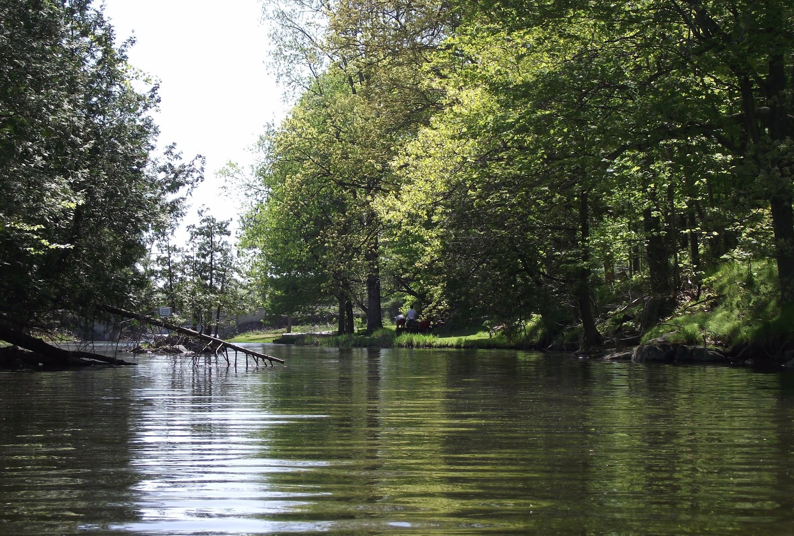
| Barred owl territory |
As we pass into Mitchell Creek there is an alternate put-in and a canoe/kayak rental facility off Canoe Lake rd. Beyond this bridge it is total solitude having left the habitation and boaters behind there is nothing but an occasional bird call: Perfect!
 |
| Author (photo credit Mike) |
 |
| Mitchell Creek |
Approx two and a half kilometres of creek before entering Birch Lake proper which has some cottages on its north shore, the right belonging to Frontenac Prov. Park. A short way along is a campsite (no 7) with picnic table and a sign suggesting portage😬 to Akron Lake for those hardy canoeists who love carting stuff around on their backs. Crossing Birch diagonally to reach the channel on its north side that connects to Kingsford Lake, today's destination. Reaching the east end of Kingsford you find a dam on a narrow channel leading to Devil lake, also another portage for those canoeists. There is a steep gravel ramp not suitable for take out so turning around I seek a more easily accessed lunch stop. The park side of the lake is in shadow and heavily treed the other side has several cottages but I espy a low level grassy bank on a point, probably belonging to a cottage out of sight, so hopefully we will be out of sight too!
 |
| Kingsford Lake lunch stop |
Easy enough landing and under the watchful eyes of a neighbouring cottager whip out our Swiss army chairs and sit down to a well earned picnic lunch. The shoreline does not offer a lot of good take outs, but there are some they just might not be where you would want one so sometimes you improvise..
Eleven km to the end of Kingsford, 22 in all. Heading back the wind has sprung up from SW, in our face and is likely a good 20 km at its best so a bit closer to the south shore is in order to gain the leeward side when possible.
 |
| Birch Lake |
 |
| Mitchell Creek |
 |
| Turkey vulture |
You pass the rock pictured above as you exit the channel between Kingsford and Birch lake then crossing it we are back in Mitchell creek and heading back to the bridge.
 |
| Canoe Lake Rd bridge |
 |
| photo credit Mike |
As we pass back through Desert lake I make another try to relocate the owl but to no avail then we work our butts off traversing the last few kilometres into a 20 km wind head on, arriving back at the put-in feeling a bit wiped yet satisfied with another great days paddling.

Happy paddling
from
KayakJock
Note: clicking on an image renders it full size.


