Mazinaw Lake
Note: Click on an image to see large.
 |
| Bon Echo |
September 19 and my friend Pat and I head up to Bon Echo on what is looking like another spectacular paddling day all the better to enjoy the grandiose scenery of Upper & Lower Mazinaw lake at Bon Echo. We both arrive about 10:00 at what I believe is the one and only public boat launch for Bon Echo. Judging by the number of vehicles parked in the lot and along the access road it would appear that assumption is correct, but luckily we find two spots for our cars.
 |
| Boat launch |
We are keen to check out the pictographs to be found along Mazinaw Rock close to the waterline so we head over towards the rock's northern end to work our way along the rock face looking for pictographs. Upper Mazinaw is one of the deepest lakes in Ontario, coming in at 476 ft at it's deepest point. We are not disappointed as there are quite a number but many are so faded it is very difficult to determine what was drawn, not surprisingly as some are as old as 1000 years.
 |
| Heading for Mazinaw Rock |
 |
| Pictograph |
Below is a pictograph that contains the image of Nanabozho (bottom right) the Ojibwe trickster a stick like figure with almost rabbit like ears that is considered a mascot of Bon Echo and appears often.
 |
| Nanabozho (trickster) |
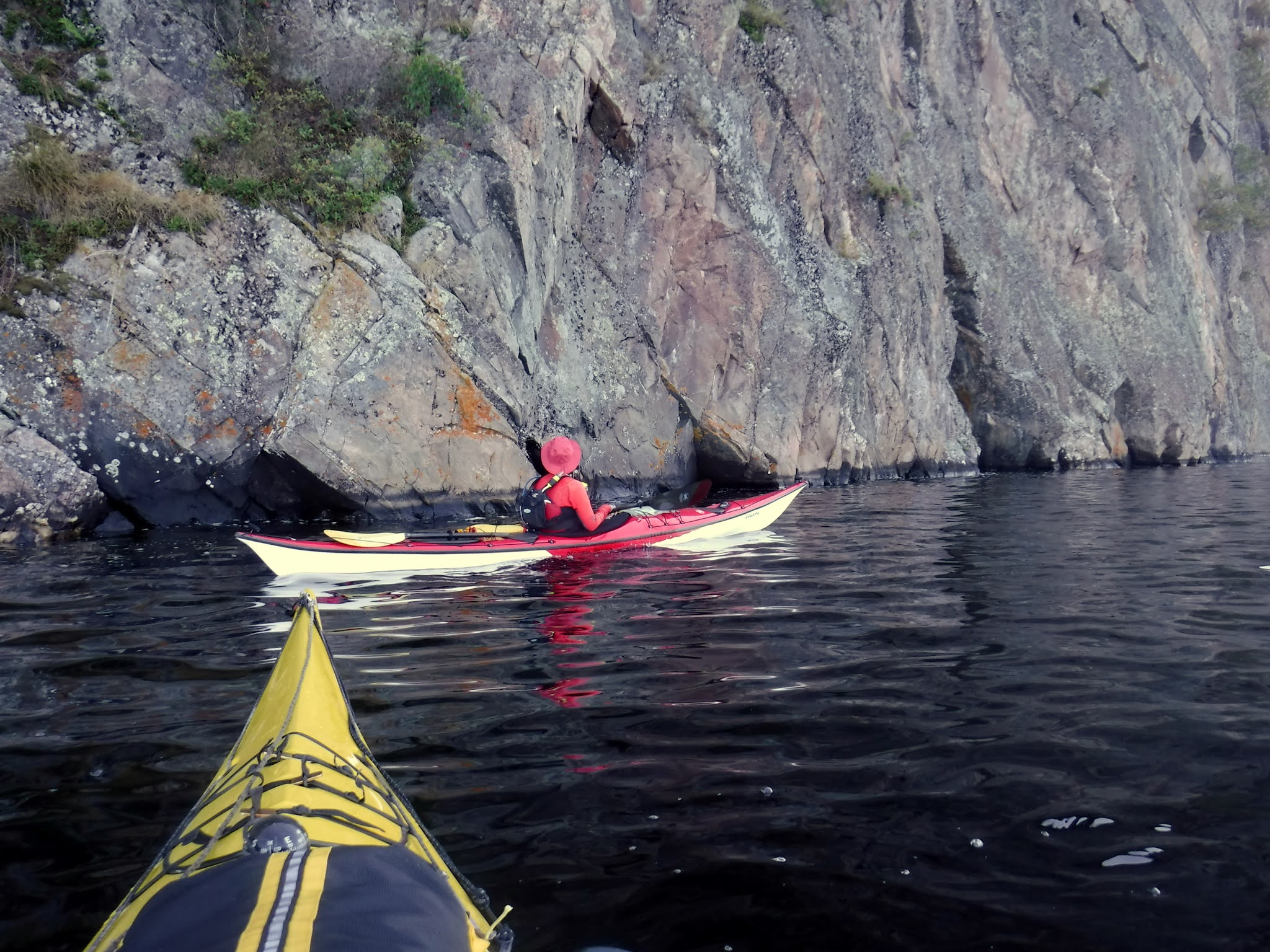 |
| Searching for pictographs |
We spend quite a bit of time just drifting along examining all the pictographs we can find and by the time we reach the end of the rock face we are thinking of lunch. It is worthy of note that Mazinaw Rock attracts many climbers and today was no exception as we see several pairs of climbers working their way up the cliff. Definitely not for the faint hearted ( that would include me!).
 |
| Two climbers |
 |
| Leading the way |
As we are almost at the narrows, the juncture of Upper and Lower Mazinaw where there is a gravel beach for easy landing a kayak so we paddle over and take out for some lunch. Before lunch we check out the tribute to Walt Whitman carved into the rock face by two of my countrymen (fellow Scots) in the summer of 1919 at the behest of Flora MacDonald an ardent admirer of Whitman and owner of the Bon Echo Inn. Also noted for her work in founding the Canadian Suffrage movement.
 |
| Flora |
 |
| Walt Whitman tribute |
The dedication reads:
OLD WALT
1819-1919
Dedicated to the democratic ideals of
WALT WHITMAN
by
Horace Traubel and Flora MacDonald
My foothold is tenon'd and mortised in granite
I laugh at what you call dissolution
and I know the amplitude of time.
The beach at the narrows is within Bon Echo park boundaries so we get a fair bit of company as we sit and eat our lunch. From here you have a view of both upper and lower Mazinaw lake.
 |
| Upper from Narrows |
 |
| Lower from Narrows |
With our luch over we paddle into lower Mazinaw lake with the intention of paddling the creek that empties into lower Mazinaw from Bon Echo provincial park. The entrance is spanned by an attractive wooden pedestrian bridge which we paddle under to see how far up the creek we can get.
 |
| Bon Echo creek |
 |
| Pedestrian bridge |
As it happens going by Google Maps there is about 600m that looks navigable but I doubt we made 500m before encountering fallen trees which prevented further passage. Leaving the creek behind we head back towards the narrows and upper Mazinaw passing a couple of beach areas to the left and a landing with some stairs on the right, this I believe leads to the trail which takes you up Mazinaw Rock which we will have to leave until another time, perhaps a future camping trip. After passing through the narrows we can see our climbers are still hard at it and the lead is now much closer to his goal.
 |
| Almost there! |
As we both have a fairly long drive ahead of us and I am expected home for dinner we decide to call it quits and head back to our take-out to load up. If you have never been to Bon Echo I would highly recomend it as it is a lovely place to paddle and hike, we will likely be back probably camping so that we can fully explore all that this area has to offer.
 |
| Mazinaw Rock |
 |
| Pat |

 |
Happy kayaking! from KayakJock |


