Machias Bay
Note: For larger view click on any image!
 |
Bucks Harbor - Hog Island
14 km |
First week of September and we are back in Maine; the wife and I with another couple. George and I will get some kayaking while Andrea and my wife Linda do some beachcombing. Been to this area before for hiking but never done any kayaking, so we are looking forward to some exploring. Did considerable research online with Google maps prior to our visit as the main thing here (no pun intended) for us landlubbers used to kayaking inland waters, is to determine safe places to put-in and take out; at home you know you can always get out where you put-in but in tidal waters that is not a given! My research also determined that this area is rich in petroglyph sites created at least some 400 years ago by the Passamaquoddy tribe native to both Maine and our own New Brunswick and one of the most unique sites is Hog Island which I thought would be an ideal destination for a paddle.
 |
| Example of Maine petroglyphs |
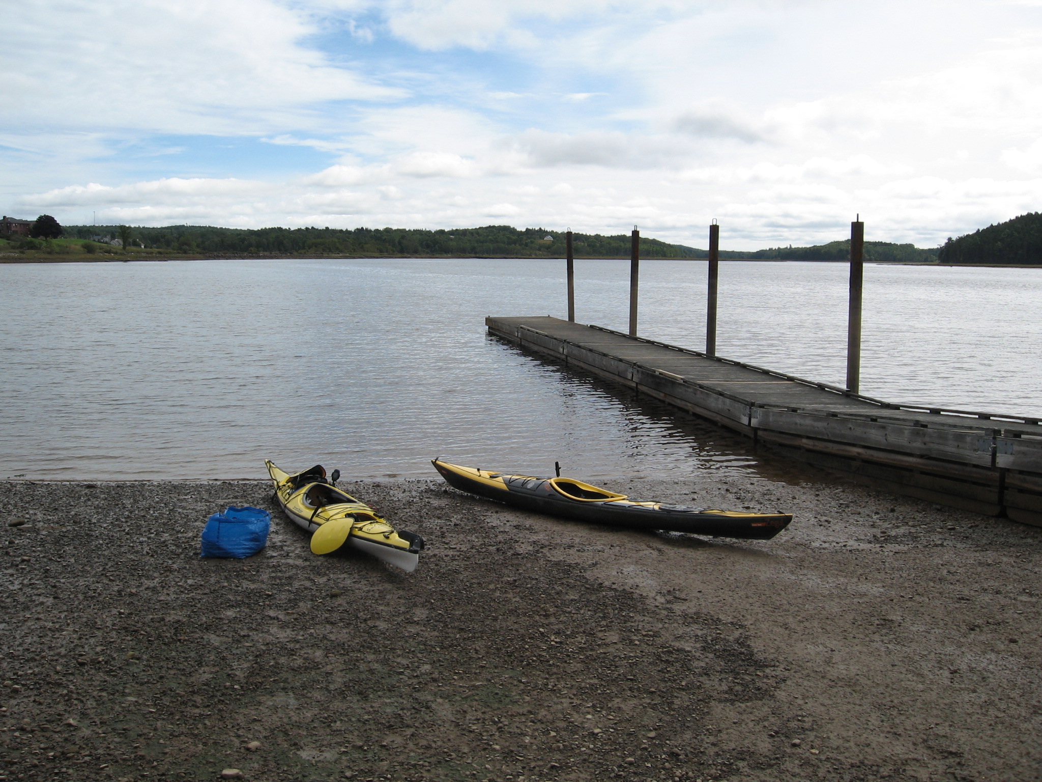
Having determined there is two good locations for put-in at Bucks Harbor we visit the closest at Finn Beach road and decide it is suitable, being low tide it can only get better as the day goes on.
 |
| Low tide |
 |
| High tide |
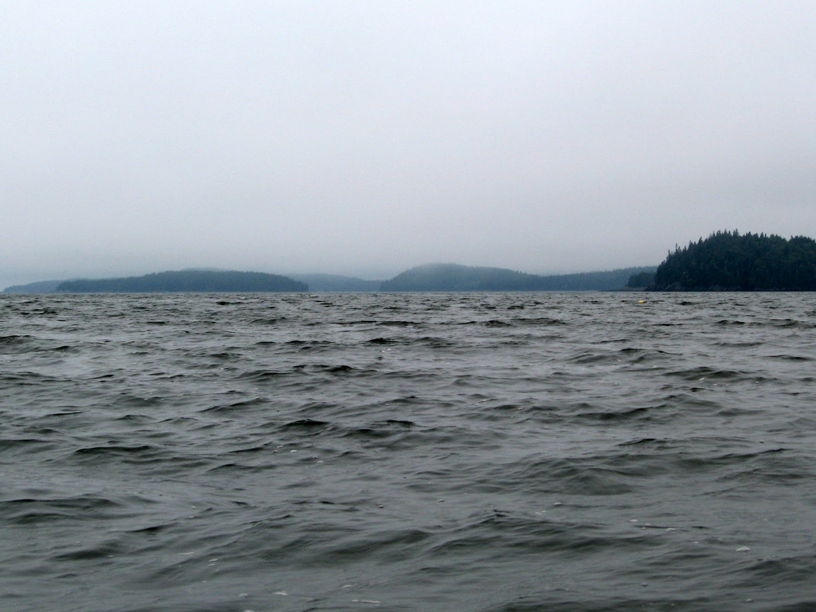
The day started bright and sunny but by the time we reached our put-in it had socked in and was totally overcast with mist on the water which greatly reduced visibility. My intention had been to travel NE between Bare island and Clamshell Cove but a quick scan with binoculars showed a sandbar effectively closing that route at low tide so walking east to higher ground I checked to make sure the channel south of Bar island was in fact still open. It was!
 |
| Looking ESE below Bar island |
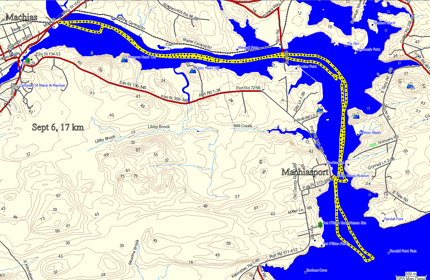
Travelling ESE from Finn Beach we round Bar island and turn NE along the eastern shore of Bare island (Green track) then north towards Round island, finally out across Machias Bay towards Hog island where we will lunch and try to find petroglyphs.
 |
| Calm & grey (credit George) |
 |
| Ever present lobster boat |
 |
| George |
As we move out into the bay there is a bit more wind now and the weather is looking very unsettled. Forecast had first said strong afternoon t-storm, but the hourly was saying nothing of note before 16:00 and the t-storm not likely until evening. I have VHF and it is now issuing a small craft warning for late afternoon.
I can now see a gravel beach that my research tells me is used by a Machias local canoe/kayak tour operator, this is where we will land. At low tide most of these islands are inaccessible due to rocky shorelines ususally strewn with seaweed. The tide here averages around 15'.
 |
| Hog Island |
Before landing we paddle a bit around the southern shore to see if there are any better landings, there isn't but lots of shallows and with the tide turning it is easy to get pushed onto rocks so it is back to the gravel beach and lunch.
 |
| beach Hog island |
 |
| lunch on Hog island |
After lunch I scout around a bit to look for any sign of the petroglyphs but to no avail. There is no published information as to their exact location to protect them from possible vandalism the like of which I have seen firsthand at Oiseau Rock on the Ottawa River. As the bay is getting quite choppy and in the distance we see what looks like rain squalls we feel we should head back and perhaps return another day if time and weather permits to have a longer search. This time we go towards Round island then skim Salt island owned by the Nature Conservancy to return by the route we couldn't do earlier but can now that the tide is about 2 hours short of high.
 |
| Round island (right) |
 |
| Heading back to Bucks Harbor |
A good paddle and the weather was fine despite being somewhat gloomy and we are back home safe and looking forward to our seafood dinner in Machias and weather looks good for next two days with plenty of sun so more adventure awaits.
 |
| Photo credit George |
Day 2: Jonesport - Great Wass Island
 |
Jonesport to Great Wass Island
17 km |
Our second day for kayaking and we are launching from the Jonesport public wharf at Sawyers Square on a beautiful sunny day. Again we are at low tide and plan to travel down the leeward side of Great Wass Island, owned by the Nature Conservancy and a great place for hiking, something I have done many times so today i'll get a different perspective of it from the ocean.
 |
| Sawyer Square wharf |
These wharves while providing public access are also used by commercial fishermen so we always try to avoid getting in their way as it is their livelyhood at stake. Usually quiet at low tide and busier at high when they may be unloading the catch for market. From Sawyer Cove we head SE to go around Pig island, the channel south of Pig being inaccessible at low tide.
 |
| Lobster boats |
 |
| Black Guillemots |
There is little wind so water very calm with just a gentle swell as we head south towards Great Wass Preserve and the inlet known as Mud Hole, a sometimes anchorage for sailboats. We have no destination planned for lunch so are keeping a sharp eye for possible safe landing sites but it is not looking too good. I know from my hiking experience, the coast trail follows the east shore and it is very rugged and challenging so not a place to try and land a kayak and with low tide it seems everywhere you look is a wall of seaweed strewn rock. We saw one exception shortly after passing Pig island that we would use as last resort. There's a house so may be private beach.
 |
| Possible landing |
This area has several fish farms which I think are new; large enclosures that are enclosed in netting and anchored at sea. I'm told salmon is the product and on close inspection they are quite alive with fish performing almost acrobatic leaps every few minutes, kinda sad! As we approached we kept seeing seals pop up, perhaps they are hoping for a free lunch?
 |
| Fish farm |
 |
| George |
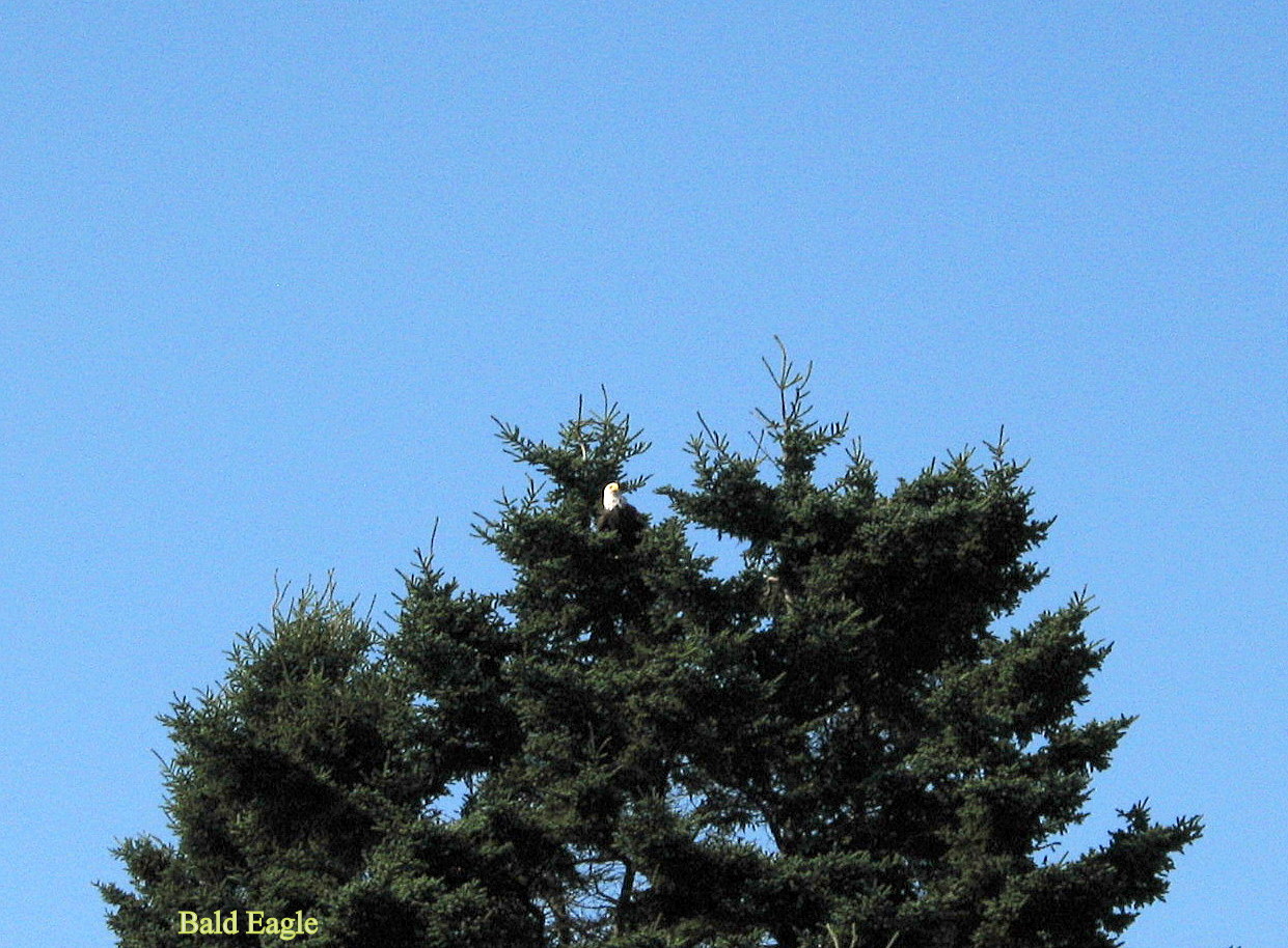
Having reached Mud Hole and still no sign of a landing and the need for a pit stop becoming ever more pressing we turn north again to try the beach seen earlier. Still checking with the binoculars and just after passing Green island I think I see a possible at about 3 km distance on Head Harbor island. Too far to be sure so we strike out to the NE until close enough to make a decision. This was meant to be! It is gravel to waters edge and as we approach we first pass two Bald eagles and then seals are popping up around us and this time i'm quick enough to capture an image.
 |
| Bald eagles |
 |
| Seal |
Then just before reaching the shore I spot a Golden eagle circling high above, the first I have seen in years! This is a perfect spot for lunch and the easiest of landings, so jacket off and chair out its time to sit back eat,relax and enjoy the view. To add to my birding experience we have some shorebirds moving around the beach, a few Lesser Yellowlegs and a small flock of peeps one of which comes and lands just feet from my chair allowing me to get this image of a Least sandpiper.
 |
| Head Harbor Island |
 |
| Least sandpiper |
After an enjoyable break for lunch we're heading back across to Pig island and it's southern channel Pig island Gut to take a look round the other side of Great Wass. Enroute George receives a call from Andrea, they have been tracking us on the phone and can now see us from their location at the NE tip of Great Wass island where they have been beachcombing and having a great lunch at a take-out restaurant. Once round past Boat Cove and we encounter the wind we missed on the other side. Quite gusty from the SW so getting very choppy. One thing I have noticed paddling this coast, anytime another vessel passes us they have always throttled back till safely (ours) passed. These guys live on the water and know the dangers only too well, something ignored by many a yahoo back home unfortunately.
 |
| Getting choppy |
So now it's time to return to Jonesport to take-out, head back to the motel for clean up and then a much anticipated date with a lobster to end a perfect day of kayaking in downeast Maine.
 |
| End of a Perfect day |
Day 3: Machias Bay - Hog Island
 |
Bucks Harbor public access to Hog Is.
13 km |
Our third and last day of kayaking and we are going back out to Hog Island to have another look around for the petroglyphs. This time we opt for the alternate put-in about 1/2 km beyond Finn Beach road just south of BBS Lobster trap on Pettegrow Point road. We had a look at it after our first paddle and determined this was an easier launch as you can drive a vehicle right down to waters edge at any tide level. See red track above.
 |
| Pettegrow Point road public access |
Weather today is again perfect unlike our first paddle to the island. Again due to tide we take the sutherly route and clearly visible in the distance are the radio masts of a military installation which is now apparently part of NORAD.
 |
| between Bar Is. & Bucks Head |
We take much the same route as previously passing Round island and land back on the same beach which is a lot more inviting now than last time.
 |
| Round Island |
 |
| Hog Island |
On landing we haul the boats up to the high water line to give us some time to do some walking in search of petroglyphs and not have to keep moving them away from the incoming tide.
 |
| Hog Is. beach (photo credit George) |
We walk north first figuring better do our walking before lunch as we may not be so energetic after. Someone said they were on the back of the island although back is a relative term, depends which way you come from. We don't get too far before the going gets rather difficult and would require climbing down some steep rock to areas that will flood as the tide comes up. There is no signs of any trail left by visitors or anything to guide us to their location, a veritable needle in a haystack. Retracing our steps we try for the other direction where an abandoned ruined shack stands above the beach. Again all looks much the same so we are doomed to failure once again.
 |
| Sherpa George |
 |
| checking south shore |
Well it was worth a try and we are having a great paddle and seeing the scenery in all its glory unlike our first run out. Giving up on our quest it's back to the beach to relax and have our lunch.
 |
| Looking SW from Hog Is. |
 |
| Our lunch perch |
We will try a different route home for a little variety, over to Round Island then west along the leeward side of Round and Salt islands before turning SE to get us between Bare island and Clamshell Cove. Along the way I get to see a Common tern at rest on a buoy and several Bonaparte gulls feeding on the water.
 |
| Common tern |
 |
| Bonaparte gull |
To add another variation we take the cut between Bare and Bar islands before a right turn to run back in to the beach for take out. Our vehicle sits alone in the parking area, everyone else has gone home.
So another Maine kayaking trip draws to a close just time for one more seafood dinner and then we have to pack up and be ready for our long (all day) drive home to Ontario but we have had a great time and lots of great food and we really lucked in with the weather as tomorrow the tail end of the hurricane will bring lots of rain and wind so nobody will be kayaking here for a while.
 |
| Our lonely vehicle |
 |
Happy Kayaking
from
KayakJock |





.jpg)