Georgian Bay:
Minks, McCoys & Franklin Island
 |
| Day 1 |
Please note, click on any image to see original size.
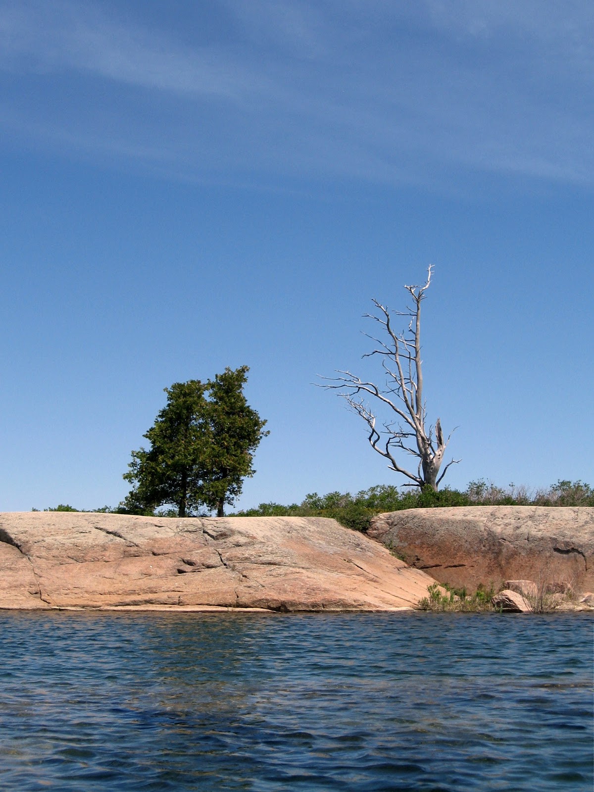
After a hiatus of several years I am finally able to return to Georgian Bay to hopefully complete my exploration of the Minks & McCoy islands which due to strong winds was not completed on my previous visit. On Tuesday June 21 I set out with paddling friend Dave with the intention of meeting another paddler Ray, at Snug Harbour around 2 pm. Our original plan was to leave Monday but weather report called for 30 km wind with 70 km gusts and likely thunderstorms in the area, hence the delay. Yet another delay arose as my travelling companion met with traffic delays en-route to my home, so we were not on the water till almost 4 pm. No worries, while still quite windy weather is fair and and the decision is made to look at sites on Franklin Island's west side.
 |
| Depart Snug Harbour |
 |
| Camp 1 |
We stop first near Lenice Island a site I have previously used, then travel north to look at possible site at Spears Island or Cunningham Bay. The former did not look suitable for 3 tents or easy unloading and I know that Cunningham Bay could require a lift-over at the access point if water levels are low so we decide on the known quantity and return to the island about 150 m NW of Lenice island to set up our first camp. Parking is a little tricky here in the small cove behind the island but we get unloaded and lift the kayaks on to the rocks and secure bow lines just in case. This site is equipped with a thunder box, always a welcome amenity ! Plenty of room for our three tents and after setting up we go about getting our evening meal and preparing a fire for later.
 |
| Boat parking * |
 |
| Campfire |
After dark there are a few mosquitoes and we decide to call it a day. I am awoken in the early hours by high winds shaking my tent and start to worry that I did not spend enough time securing my tent. We are on bedrock so no pegs just boulders attached to the guy lines (I hope). I consider getting up to check but realise that while I am in it I am helping to hold it down, so stay put! Around 5 am the wind begins to drop and by the time I get up it is looking like it will be a very pleasant day.
 |
| Sunset from camp 1 |
 |
| Day 2 |
Our second day, breakfast over we head NNW for our next camp on Big McCoy, there is a bit of wind mostly west or NW so we tend to keep to the lee of islands as we work our way along the coast. We spot an adult Bald eagle lift off from it's aerie on Ardagh island and then at Edgar island we stop for lunch.
 |
| Aerie |
 |
| Lunch |
 |
| Day 3 |
Our third day dawns gorgeous and very calm, ideal for a paddle down the Minks with it's numerous shoals and we can visit Green island which is known to have campsites so a good place to stop and have our lunch. There is also a shipwreck just west of Green island that we could try to find. Perfectly calm so we leisurely paddle taking in the varied sites, wild Iris and orange coloured lichen cling to rocks and one island abundantly covered with some very yellow flora that I could not identify.
 |
| Wild Iris |
 |
| Unknown flora |
A waypoint for the wreck of the Seattle places us over a shoal just NW of Green island but we can not determine any wreckage. A little research determines that the Seattle a steam barge was wrecked Nov 11,1903 when she lost power and was washed onto the shoal. Out of Parry Sound carrying lumber to Detroit: no loss of life! So on to Green island and lunch.
 |
| Ray |
 |
| Self on Green island |
 |
| Abandoned cabin |
 |
| Exploring coast |
 |
| A swim at Corbman Pt. beach |
Lunch over we paddle the short distance to the beach campsite at Corbman Point and find that happily the site is vacant so land and set up what will be our last camp of the trip. After getting our camp set up there is time for a refreshing swim before getting back in the boats for a trip over to Dillon Cove marina for some ice cream. Round trip is only about 5 km.
 |
| Dillon marina |
 |
| Dillon marina |
Real luxury at this site, thunder-box and a picnic table plus the ease of sliding off and on a sand beach. Once again we are treated to a spectacular sunset for our last night of camping.
 |
| Corbman Pt. camp * |
 |
| Sunset at Corbman Point |
 |
| Day 5 |
Our last day and it will be as nice as the previous ones. We have decided to return to Snug Harbour via the Sheshebong channel, my companions have never been here before so would like to see the inside passage and I plan to check out the campsites for possible use on future trips. So packed up, we bid farewell to this comfortable site and head for the inside passage.
 |
| Snug Island channel |
Happy Paddling
from
KayakJock
Images marked * courtesy of Dave
Images marked # courtesy of Ray


 This is not a large island but there are a few spots suitable for camping, many of the Minks are private or small so Green island is best bet before reaching Snake island further south of the Minks. On our return paddle we take a look at an islet populated by nesting Cormorants and find they are trying to protect young from predatory Herring gulls who are feasting on Cormorant chicks they snatch from nests. Nature is brutal!


it sounds like a wonderful trip! Your descriptions and pictures were great! Glad to hear the weather was great after the first night - you lucked out! Pat
ReplyDelete